Geolocate

Venan topographic map

Click on the map to display elevation.

About this map

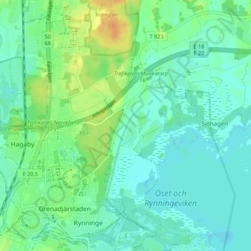
Name: Venan topographic map, elevation, terrain.

Location: Venan, Örebro, Örebro kommun, Örebro County, 703 81, Sweden (59.27560 15.23284 59.31560 15.27284)

Average elevation: 29 m

Minimum elevation: 20 m

Maximum elevation: 51 m

Gear up for your next adventure:

👟Trail Running Shoes - Agile footwear for fast-paced topographic exploration
🔥Emergency Fire Starter - Reliable ignition source for all weather conditions
🛰️Satellite Messenger - Emergency communication for areas with no cell service
Family Camping Tent - Spacious tent suitable for family camping trips
Bushcraft Tarp - Versatile emergency shelter or gear protection

As an Amazon Associate, this site earns from qualifying purchases at no extra cost to you.