Geolocate

Floridatown topographic map

Click on the map to display elevation.

About this map

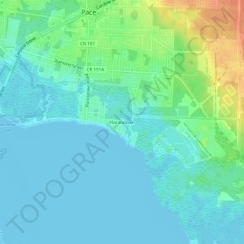
Name: Floridatown topographic map, elevation, terrain.

Location: Floridatown, Pace, Santa Rosa County, Florida, United States (30.56131 -87.17469 30.60131 -87.13469)

Average elevation: 10 m

Minimum elevation: -4 m

Maximum elevation: 43 m

Gear up for your next adventure:

🚲MTB Frame Bag - Carry tools and maps directly on your bicycle frame
🔪Outdoor Multitool - Versatile tool for repairs and food prep in the wild
🧥Waterproof Pants - Keep dry during rainy hiking conditions
🔭Compact Binoculars - Lightweight optics for scouting trails and wildlife
🛏️Sleeping Bag - Warm and compact sleeping bags for outdoor camping

As an Amazon Associate, this site earns from qualifying purchases at no extra cost to you.