Geolocate

Cimaferle topographic map

Click on the map to display elevation.

About this map

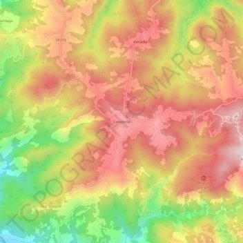
Name: Cimaferle topographic map, elevation, terrain.

Location: Cimaferle, Ponzone, Alessandria, Piemonte, Italia (44.53382 8.46404 44.57382 8.50404)

Average elevation: 555 m

Minimum elevation: 275 m

Maximum elevation: 755 m

Gear up for your next adventure:

🚑Survival Whistle - Signal for help across long distances in mountains
🚲MTB Frame Bag - Carry tools and maps directly on your bicycle frame
🎒Hiking Daypack - Lightweight and durable backpacks for day trips and excursions
🦶Anti-Blister Balm - Prevents friction and hotspots during long ascents
🦌Outdoor Trail Camera - Monitor wildlife activity near your favorite spots

As an Amazon Associate, this site earns from qualifying purchases at no extra cost to you.