Geolocate

Thompsonville topographic map

Click on the map to display elevation.

About this map

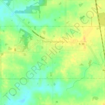
Name: Thompsonville topographic map, elevation, terrain.

Location: Thompsonville, Franklin County, Illinois, United States (37.90703 -88.78097 37.92186 -88.74365)

Average elevation: 147 m

Minimum elevation: 132 m

Maximum elevation: 159 m

Other topographic maps

Click on a map to view its topography, its elevation and its terrain.

Akin

United States > Illinois > Franklin County

Average elevation: 143 m

Gear up for your next adventure:

🍽️Titanium Camping Spork - Ultralight and indestructible eating utensil
🔭Compact Monocular - One-handed bird watching and trail spotting
🏃Hydration Running Vest - Carry water and maps close to your body for speed
🛶Waterproof Dry Bags - Keep electronics and clothes dry during river crossings
💧Hydration Pack - Hands-free hydration system for long hikes

As an Amazon Associate, this site earns from qualifying purchases at no extra cost to you.