
Thank you for supporting this site ❤️
Make a donation
Make a donation
Gear up for your next adventure:
As an Amazon Associate, this site earns from qualifying purchases at no extra cost to you.
Goñar topographic map
Click on the map to display elevation.
Thank you for supporting this site ❤️
Make a donation
Make a donation
Gear up for your next adventure:
As an Amazon Associate, this site earns from qualifying purchases at no extra cost to you.
About this map
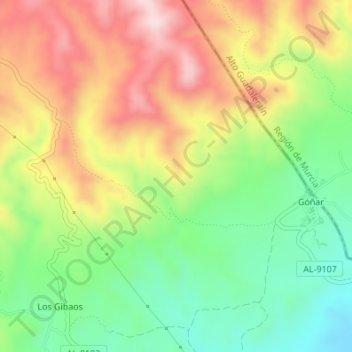
Name: Goñar topographic map, elevation, terrain.
Location: Goñar, Huércal-Overa, Almería, Andalusië, Spanje (37.48599 -1.89762 37.50599 -1.87762)
Average elevation: 595 m
Minimum elevation: 436 m
Maximum elevation: 781 m
Thank you for supporting this site ❤️
Make a donation
Make a donation
Gear up for your next adventure:
As an Amazon Associate, this site earns from qualifying purchases at no extra cost to you.