
Westerheide topographic map
Interactive map
Click on the map to display elevation.
About this map
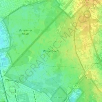
Name: Westerheide topographic map, elevation, terrain.
Location: Westerheide, Laren, Hilversum, Noord-Holland, Nederland (52.23953 5.17206 52.26468 5.20859)
Average elevation: 13 m
Minimum elevation: 0 m
Maximum elevation: 26 m
Other topographic maps
Click on a map to view its topography, its elevation and its terrain.
De Witte Bergen
Nederland > Noord-Holland > Laren
De Witte Bergen, Laren, Noord-Holland, Nederland
Average elevation: 5 m