
Benton County topographic map
Interactive map
Click on the map to display elevation.
About this map
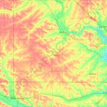
Name: Benton County topographic map, elevation, terrain.
Location: Benton County, Iowa, Vereinigte Staaten von Amerika (41.86162 -92.29931 42.29905 -91.83110)
Average elevation: 268 m
Minimum elevation: 224 m
Maximum elevation: 321 m