Geolocate

Gualda topographic map

Click on the map to display elevation.

About this map

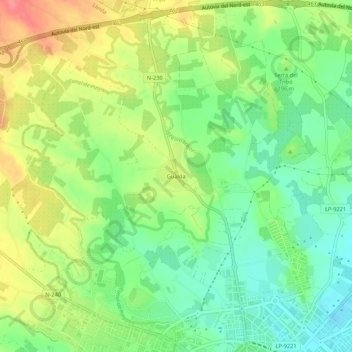
Name: Gualda topographic map, elevation, terrain.

Location: Gualda, Lleida, Segrià, Lleida, Catalonia, 25196, Spain (41.62456 0.59223 41.66456 0.63223)

Average elevation: 184 m

Minimum elevation: 153 m

Maximum elevation: 224 m

Gear up for your next adventure:

🧤Thermal Hiking Gloves - Grip-enhanced gloves for cold-weather altitude trekking
🧼Travel Hand Sanitizer - Keep hands clean when water is scarce
🥾Hiking Shorts - Breathable shorts suitable for summer hikes
🥾All-Terrain Hiking Boots - Versatile boots for varied hiking conditions
🧥Softshell Jacket - Windproof and breathable jacket for hiking

As an Amazon Associate, this site earns from qualifying purchases at no extra cost to you.