
West Norwood topographic map
Interactive map
Click on the map to display elevation.
About this map
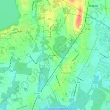
Name: West Norwood topographic map, elevation, terrain.
Location: West Norwood, Bergen County, New Jersey, 07640:07648, USA (40.98454 -73.98708 41.02454 -73.94708)
Average elevation: 20 m
Minimum elevation: 3 m
Maximum elevation: 55 m