
Make a donation
Gear up for your next adventure:
As an Amazon Associate, this site earns from qualifying purchases at no extra cost to you.
Broadmoor topographic map
Click on the map to display elevation.
Make a donation
Gear up for your next adventure:
As an Amazon Associate, this site earns from qualifying purchases at no extra cost to you.
Broadmoor
Broadmoor is located at 29°56′56″N 90°06′15″W / 29.94889°N 90.10417°W / 29.94889; -90.10417 and has an elevation of 2 feet (0.6 m). According to the United States Census Bureau, the district has a total area of 0.56 square miles (1.5 km2). 0.56 square miles (1.5 km2) of which is land and 0.00 square miles (0.0 km2) (0.00%) of which is water.
Make a donation
Gear up for your next adventure:
As an Amazon Associate, this site earns from qualifying purchases at no extra cost to you.
About this map
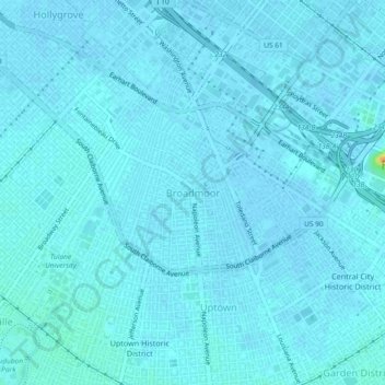
Name: Broadmoor topographic map, elevation, terrain.
Average elevation: 2 m
Minimum elevation: -1 m
Maximum elevation: 31 m
Make a donation
Gear up for your next adventure:
As an Amazon Associate, this site earns from qualifying purchases at no extra cost to you.