Geolocate

Foradada topographic map

Click on the map to display elevation.

About this map

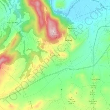
Name: Foradada topographic map, elevation, terrain.

Location: Foradada, Noguera, Lérida, Cataluña, 25737, España (41.85702 0.99434 41.89702 1.03434)

Average elevation: 402 m

Minimum elevation: 292 m

Maximum elevation: 582 m

Gear up for your next adventure:

🧢Sun Protection Cap - Breathable cap to protect from sun exposure
🌡️Emergency Mylar Blankets - Compact thermal protection for unexpected nights outdoors
🕶️Polarized Sunglasses - Reduces glare from snow and water at high elevations
🥾Waterproof Hiking Boots - Boots keeping your feet dry in wet conditions
🥾Hiking Shoes - Durable and comfortable shoes for trail hiking

As an Amazon Associate, this site earns from qualifying purchases at no extra cost to you.