Geolocate

Union Hall topographic map

Click on the map to display elevation.

About this map

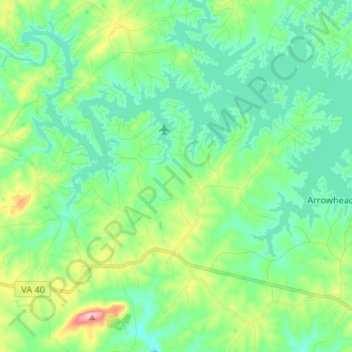
Name: Union Hall topographic map, elevation, terrain.

Location: Union Hall, Franklin County, Virginia, 24176, United States (36.98918 -79.74670 37.05117 -79.61430)

Average elevation: 271 m

Minimum elevation: 226 m

Maximum elevation: 406 m

Gear up for your next adventure:

🔭Outdoor Binoculars - Lightweight binoculars for birdwatching and hiking
💧Filtered Water Bottle - Safe drinking water on the go
❄️Traction Ice Cleats - Slip-on spikes for icy trails and winter hiking
🥾Mountain Hiking Shoes - Shoes with superior grip for mountainous terrain
🥾Waterproof Hiking Boots - Essential footwear for rugged terrain and wet Canadian trails

As an Amazon Associate, this site earns from qualifying purchases at no extra cost to you.