Geolocate

Baluntay topographic map

Click on the map to display elevation.

About this map

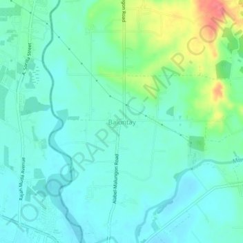
Name: Baluntay topographic map, elevation, terrain.

Location: Baluntay, Alabel, Sarangani, Soccsksargen, 9501, Philippines (6.11507 125.22760 6.15507 125.26760)

Average elevation: 23 m

Minimum elevation: 5 m

Maximum elevation: 80 m

Gear up for your next adventure:

🥾Hiking Shoes - Durable and comfortable shoes for trail hiking
🎒Hiking Backpack - Lightweight and ergonomic backpacks for day hikes or multi-day treks
🥾Waterproof Hiking Shoes - Durable shoes for wet and rugged trails
💡LED Headlamp - Hands-free illumination for night hiking and camping
🥾Lightweight Hiking Shoes - Comfortable shoes for day hikes

As an Amazon Associate, this site earns from qualifying purchases at no extra cost to you.