Geolocate

Chambon topographic map

Click on the map to display elevation.

About this map

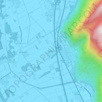
Name: Chambon topographic map, elevation, terrain.

Location: Chambon, Roche (VD), District d'Aigle, Vaud, 1852, Switzerland (46.34163 6.90037 46.38163 6.94037)

Average elevation: 485 m

Minimum elevation: 372 m

Maximum elevation: 1,377 m

Gear up for your next adventure:

🥾Trail Hiking Boots - Supportive boots for rough trails
🌡️Emergency Mylar Blankets - Compact thermal protection for unexpected nights outdoors
🧊Portable Cooler - Keep food and drinks cold during outdoor adventures
🌬️Windproof Camp Stove - Efficient cooking even on exposed mountain peaks
🧣Evaporative Cooling Towel - Beat the heat during intense summer climbs

As an Amazon Associate, this site earns from qualifying purchases at no extra cost to you.