
Oostnieuwkerke topographic map
Interactive map
Click on the map to display elevation.
About this map
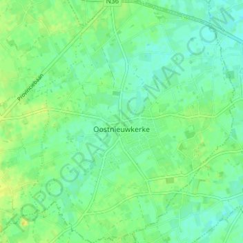
Name: Oostnieuwkerke topographic map, elevation, terrain.
Average elevation: 25 m
Minimum elevation: 18 m
Maximum elevation: 33 m
Other topographic maps
Click on a map to view its topography, its elevation and its terrain.
Westrozebeke
Belgique > Flandre-Occidentale > Roulers > Staden
Westrozebeke, Staden, Roulers, Flandre-Occidentale, Belgique
Average elevation: 31 m