
Yateras topographic map
Interactive map
Click on the map to display elevation.
About this map
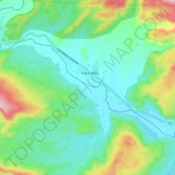
Name: Yateras topographic map, elevation, terrain.
Location: Yateras, Caimanera, Guantánamo, Cuba (19.96983 -75.03272 20.01082 -74.95634)
Average elevation: 80 m
Minimum elevation: 2 m
Maximum elevation: 290 m