Geolocate

Mannoor topographic map

Click on the map to display elevation.

About this map

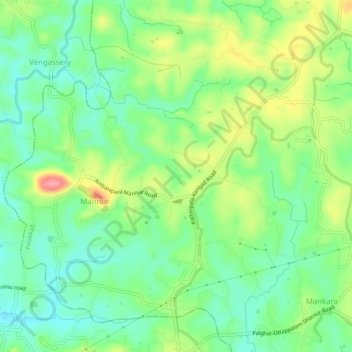
Name: Mannoor topographic map, elevation, terrain.

Location: Mannoor, Mannur, Palakkad, Palakkad District, Kerala, India (10.78479 76.44997 10.82604 76.50050)

Average elevation: 72 m

Minimum elevation: 36 m

Maximum elevation: 134 m

Other topographic maps

Click on a map to view its topography, its elevation and its terrain.

Mannur

India > Kerala > Palakkad > Mannur

Average elevation: 66 m

Gear up for your next adventure:

🧢Hiking Hat - Sun-protective and breathable hats for long treks
Backpacking Tent - Lightweight tent for long-distance hiking trips
🛶Waterproof Dry Bags - Keep electronics and clothes dry during river crossings
Lightweight Backpacking Tent - Compact tent for efficient hiking trips
💧Collapsible Water Bottle - Space-saving water bottle for outdoor activities

As an Amazon Associate, this site earns from qualifying purchases at no extra cost to you.