
Les Égouts de Pluie topographic map
Interactive map
Click on the map to display elevation.
About this map
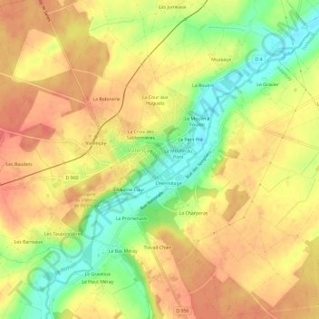
Name: Les Égouts de Pluie topographic map, elevation, terrain.
Average elevation: 126 m
Minimum elevation: 91 m
Maximum elevation: 148 m
Other topographic maps
Click on a map to view its topography, its elevation and its terrain.
Le Champ Bourgoin
France > Centre-Val de Loire > Indre > Valençay
Le Champ Bourgoin, Valençay, Châteauroux, Indre, Centre-Val de Loire, France métropolitaine, 36600, France
Average elevation: 128 m