
28 topographic map
Interactive map
Click on the map to display elevation.
About this map
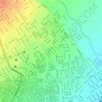
Name: 28 topographic map, elevation, terrain.
Average elevation: 166 m
Minimum elevation: 145 m
Maximum elevation: 194 m
Other topographic maps
Click on a map to view its topography, its elevation and its terrain.
42
Colombie > Cesar > Perímetro Urbano Valledupar
42, Comuna 1, Perímetro Urbano Valledupar, Valledupar, Cesar, RAP Caribe, Colombie
Average elevation: 155 m