Geolocate

Waskesiu Lake topographic map

Click on the map to display elevation.

About this map

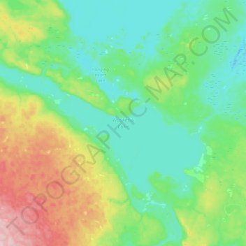
Name: Waskesiu Lake topographic map, elevation, terrain.

Location: Waskesiu Lake, Saskatchewan, Canada (53.89909 -106.44151 54.02336 -106.07365)

Average elevation: 574 m

Minimum elevation: 519 m

Maximum elevation: 731 m

Saskatchewan trails, hiking, mountain biking, running and outdoor activities

Gear up for your next adventure:

🥾Light Hiking Boots - Lightweight and comfortable boots for day hikes
🥾Waterproof Hiking Boots - Essential footwear for rugged terrain and wet Canadian trails
🐕Hiking Dog Pack - Let your canine companion carry their own water and food
🧤Thermal Hiking Gloves - Grip-enhanced gloves for cold-weather altitude trekking
💧Hydration Pack - Hands-free hydration system for long hikes

As an Amazon Associate, this site earns from qualifying purchases at no extra cost to you.