
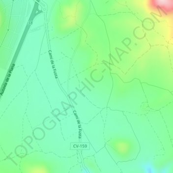
La Forta topographic map
Interactive map
Click on the map to display elevation.
About this map
Name: La Forta topographic map, elevation, terrain.
Average elevation: 277 m
Minimum elevation: 205 m
Maximum elevation: 456 m
Other topographic maps
Click on a map to view its topography, its elevation and its terrain.
Las Torres
España > Comunidad Valenciana > Cabanes
Las Torres, Ribera de Cabanes, Cabanes, Plana Alta, Castellón, Comunidad Valenciana, 12595, España
Average elevation: 26 m