
લખપત (બચોઉ) topographic map
Interactive map
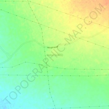
Click on the map to display elevation.
About this map
Name: લખપત (બચોઉ) topographic map, elevation, terrain.
Location: લખપત (બચોઉ), Bhachau Taluka, Kutch District, Gujarat, India (23.34115 70.45127 23.38115 70.49127)
Average elevation: 61 m
Minimum elevation: 43 m
Maximum elevation: 80 m