
Wragby topographic map
Click on the map to display elevation.
About this map
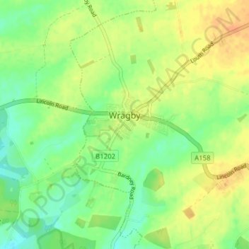
Name: Wragby topographic map, elevation, terrain.
Location: Wragby, East Lindsey, Lincolnshire, England, United Kingdom (53.26658 -0.31748 53.30442 -0.26716)
Average elevation: 25 m
Minimum elevation: 10 m
Maximum elevation: 40 m
Other topographic maps
Click on a map to view its topography, its elevation and its terrain.