Geolocate

Nittur topographic map

Click on the map to display elevation.

About this map

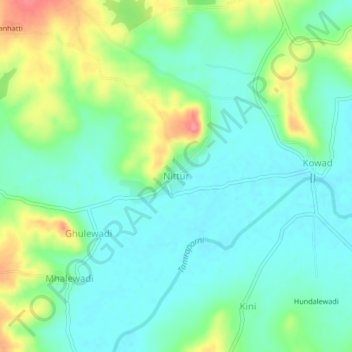
Name: Nittur topographic map, elevation, terrain.

Location: Nittur, Chandgad, Kolhapur, Maharashtra, 416508, India (15.96703 74.34403 16.00703 74.38403)

Average elevation: 707 m

Minimum elevation: 683 m

Maximum elevation: 761 m

Gear up for your next adventure:

🎒Hiking Backpack - Lightweight and ergonomic backpacks for day hikes or multi-day treks
🌬️Windproof Camp Stove - Efficient cooking even on exposed mountain peaks
🧦Hiking Liner Socks - Thin base layer to prevent friction and blisters
🦶Anti-Blister Balm - Prevents friction and hotspots during long ascents
🥾Waterproof Trail Shoes - Shoes designed to handle wet terrain

As an Amazon Associate, this site earns from qualifying purchases at no extra cost to you.