Geolocate

Diemelsee topographic map

Click on the map to display elevation.

About this map
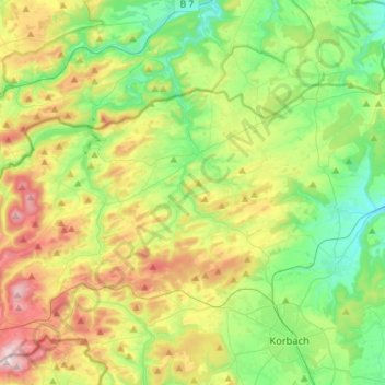
Name: Diemelsee topographic map, elevation, terrain.

Location: Diemelsee, Landkreis Waldeck-Frankenberg, Hessen, 34519, Duitsland (51.29234 8.65376 51.39291 8.93822)

Average elevation: 448 m

Minimum elevation: 266 m

Maximum elevation: 775 m

Other topographic maps

Click on a map to view its topography, its elevation and its terrain.

Gear up for your next adventure:

🧭Orienteering Kit - Tools for map reading and navigation in the wild
🚲MTB Frame Bag - Carry tools and maps directly on your bicycle frame
🪑Ultralight Camping Stool - Compact seating for rest stops during long hikes
🌬️Windproof Camp Stove - Efficient cooking even on exposed mountain peaks
🦯Trekking Poles - Reduced impact on joints for steep topographic climbs

As an Amazon Associate, this site earns from qualifying purchases at no extra cost to you.