Geolocate

Bazargaon topographic map

Click on the map to display elevation.

About this map

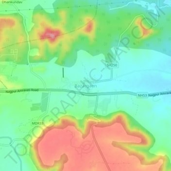
Name: Bazargaon topographic map, elevation, terrain.

Location: Bazargaon, Nagpur Rural Taluka, Nagpur, Maharashtra, India (21.11876 78.75114 21.15876 78.79114)

Average elevation: 409 m

Minimum elevation: 363 m

Maximum elevation: 481 m

Other topographic maps

Click on a map to view its topography, its elevation and its terrain.

Butibori

India > Maharashtra > Nagpur Rural Taluka

Average elevation: 271 m

Bazagaon

India > Maharashtra > Nagpur Rural Taluka

Average elevation: 407 m

Butibori

India > Maharashtra > Nagpur Rural Taluka

Average elevation: 271 m

Gear up for your next adventure:

🥤Collapsible Travel Cup - Saves space and weight in your mess kit
Family Camping Tent - Spacious tent suitable for family camping trips
🧶550 Survival Paracord - Versatile utility cord for emergency repairs and rigging
🥾Approach Shoes - Shoes designed for climbing approaches and rugged trails
🦶Hiking Shoe Insoles - Added support for high arches and long days on feet

As an Amazon Associate, this site earns from qualifying purchases at no extra cost to you.