
Lirima topographic map
Interactive map
Click on the map to display elevation.
About this map
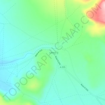
Name: Lirima topographic map, elevation, terrain.
Location: Lirima, Pica, Provincia del Tamarugal, Tarapacá, Chili (-19.86798 -68.87543 -19.82798 -68.83543)
Average elevation: 4,084 m
Minimum elevation: 4,029 m
Maximum elevation: 4,243 m