Geolocate

Warren topographic map

Click on the map to display elevation.

About this map

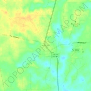
Name: Warren topographic map, elevation, terrain.

Location: Warren, Tyler County, Texas, 77664, United States (30.59465 -94.42853 30.63465 -94.38853)

Average elevation: 49 m

Minimum elevation: 35 m

Maximum elevation: 63 m

Gear up for your next adventure:

💧Filtered Water Bottle - Safe drinking water on the go
🚲Handlebar Phone Mount - View topographic-map.com live while cycling
🧢Outdoor Cap - Protective cap for sun and rain during hikes
🧥Ultralight Puffy Jacket - Maximum warmth that packs down to the size of an orange
💡Solar Camping Lamp - Eco-friendly lighting for campsites

As an Amazon Associate, this site earns from qualifying purchases at no extra cost to you.