
Tarata topographic map
Interactive map
Click on the map to display elevation.
About this map
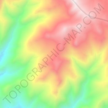
Name: Tarata topographic map, elevation, terrain.
Location: Tarata, Ticaco, Tarata, Tacna, Peru (-17.41832 -70.01132 -17.37832 -69.97132)
Average elevation: 4,387 m
Minimum elevation: 3,890 m
Maximum elevation: 4,825 m