
Zuera topographic map
Interactive map
Click on the map to display elevation.
About this map
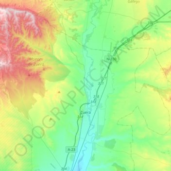
Name: Zuera topographic map, elevation, terrain.
Location: Zuera, Zaragoza, Aragón, Spanje (41.79327 -0.95533 42.01507 -0.62417)
Average elevation: 403 m
Minimum elevation: 239 m
Maximum elevation: 769 m