Geolocate

Villa topographic map

Click on the map to display elevation.

About this map

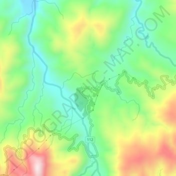
Name: Villa topographic map, elevation, terrain.

Location: Villa, Aurora, Central Luzon, Philippines (15.67591 121.31440 15.71591 121.35440)

Average elevation: 448 m

Minimum elevation: 244 m

Maximum elevation: 786 m

Gear up for your next adventure:

🥾Trekking Boots - Durable boots for long-distance trekking
🧤Insulated Winter Gloves - Heavy-duty protection for sub-zero Canadian adventures
🧼Travel Hand Sanitizer - Keep hands clean when water is scarce
🧭GPS Outdoor Watch - Smart watch for navigation and fitness tracking in nature
🛏️Camping Sleeping Mat - Comfortable mats for sleeping outdoors

As an Amazon Associate, this site earns from qualifying purchases at no extra cost to you.