Geolocate

Pony topographic map

Click on the map to display elevation.

About this map

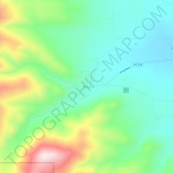
Name: Pony topographic map, elevation, terrain.

Location: Pony, Madison County, Montana, 59747, United States (45.63845 -111.91450 45.67845 -111.87450)

Average elevation: 1,766 m

Minimum elevation: 1,604 m

Maximum elevation: 2,118 m

Gear up for your next adventure:

🧊Insulated Water Bottle - Keeps drinks cold in summer and prevents freezing in winter
💡LED Camping Lantern - Illuminate your campsite with long-lasting lanterns
🧤Thermal Hiking Gloves - Grip-enhanced gloves for cold-weather altitude trekking
👟Leg Gaiters - Keep debris, mud, and snow out of your boots
🥾Hiking Gaiters - Protect legs and shoes from mud, snow, and debris

As an Amazon Associate, this site earns from qualifying purchases at no extra cost to you.