Geolocate

Ujarma topographic map

Click on the map to display elevation.

About this map

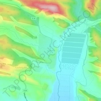
Name: Ujarma topographic map, elevation, terrain.

Location: Ujarma, Sagarejo Municipality, Kakheti, 3814, Georgia (41.76816 45.14462 41.80816 45.18462)

Average elevation: 833 m

Minimum elevation: 749 m

Maximum elevation: 1,029 m

Gear up for your next adventure:

🕯️Camping Lantern - Illuminates your entire campsite with high-efficiency LEDs
🛌Insulated Sleeping Pad - Critical thermal barrier between you and the cold ground
🧥Fleece Jacket - Warm and lightweight jacket for layering
Lightweight Backpacking Tent - Compact tent for efficient hiking trips
🦌Outdoor Trail Camera - Monitor wildlife activity near your favorite spots

As an Amazon Associate, this site earns from qualifying purchases at no extra cost to you.