
Thank you for supporting this site ❤️
Make a donation
Make a donation
Gear up for your next adventure:
As an Amazon Associate, this site earns from qualifying purchases at no extra cost to you.
Shriramnagar topographic map
Click on the map to display elevation.
Thank you for supporting this site ❤️
Make a donation
Make a donation
Gear up for your next adventure:
As an Amazon Associate, this site earns from qualifying purchases at no extra cost to you.
About this map
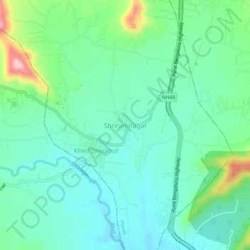
Name: Shriramnagar topographic map, elevation, terrain.
Location: Shriramnagar, Haveli, Pune District, Maharashtra, India (18.32313 73.82418 18.36313 73.86418)
Average elevation: 774 m
Minimum elevation: 715 m
Maximum elevation: 957 m
Thank you for supporting this site ❤️
Make a donation
Make a donation
Gear up for your next adventure:
As an Amazon Associate, this site earns from qualifying purchases at no extra cost to you.