Geolocate

Tunari topographic map

Click on the map to display elevation.

About this map

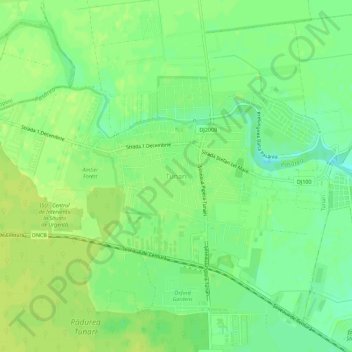
Name: Tunari topographic map, elevation, terrain.

Location: Tunari, Ilfov, 77180, Romania (44.52593 26.11770 44.56593 26.15770)

Average elevation: 90 m

Minimum elevation: 80 m

Maximum elevation: 96 m

Gear up for your next adventure:

🥾Mountain Trail Shoes - High-traction shoes for mountain trails
🧢Outdoor Cap - Protective cap for sun and rain during hikes
🔋Solar Power Bank - Keep your GPS and devices charged during long outdoor trips
🛁Quick-Dry Microfiber Towel - Space-saving towel that dries rapidly on the move
🛌Insulated Sleeping Pad - Critical thermal barrier between you and the cold ground

As an Amazon Associate, this site earns from qualifying purchases at no extra cost to you.