Geolocate

Lauria topographic map

Click on the map to display elevation.

About this map

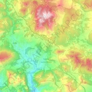
Name: Lauria topographic map, elevation, terrain.

Location: Lauria, Potenza, Basilicata, Italy (39.98268 15.79689 40.16199 15.97766)

Average elevation: 826 m

Minimum elevation: 75 m

Maximum elevation: 2,000 m

Other topographic maps

Click on a map to view its topography, its elevation and its terrain.

Agri

Italy > Basilicata > Potenza > San Martino d'Agri

Average elevation: 491 m

Gear up for your next adventure:

🥾Trail Hiking Boots - Supportive boots for rough trails
🧢Hiking Hat - Sun-protective and breathable hats for long treks
🪑Insulated Seat Pad - Protect your seat from cold rocks and wet logs
🚲MTB Frame Bag - Carry tools and maps directly on your bicycle frame
❄️Traction Ice Cleats - Slip-on spikes for icy trails and winter hiking

As an Amazon Associate, this site earns from qualifying purchases at no extra cost to you.