Geolocate

Duyong topographic map

Click on the map to display elevation.

About this map

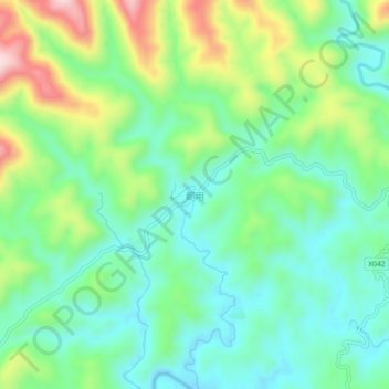
Name: Duyong topographic map, elevation, terrain.

Location: Duyong, Luxi County, Xiangxi, Hunan, China (27.99322 109.95310 28.03322 109.99310)

Average elevation: 270 m

Minimum elevation: 167 m

Maximum elevation: 496 m

Gear up for your next adventure:

🏕️Camping Hammock - Integrated protection for sleeping between trees
👟Sport Hiking Sandals - Breathable footwear for water crossings and camp rest
🧴Insect Repellent - Protect yourself from bugs during outdoor adventures
💡Portable Camping Lamp - Rechargeable lamp for campsite lighting
🧣Merino Neck Gaiter - Protects against wind, sun, and cold at high altitudes

As an Amazon Associate, this site earns from qualifying purchases at no extra cost to you.