
Minde topographic map
Interactive map
Click on the map to display elevation.
About this map
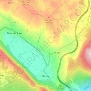
Name: Minde topographic map, elevation, terrain.
Location: Minde, Alcanena, Santarém, Médio Tejo, Centro, Portugal (39.50490 -8.71448 39.56241 -8.63665)
Average elevation: 353 m
Minimum elevation: 134 m
Maximum elevation: 625 m