Geolocate

Yuba City topographic map

Click on the map to display elevation.

About this map
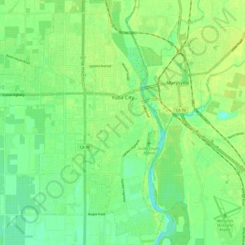
Name: Yuba City topographic map, elevation, terrain.

Location: Yuba City, Sutter County, California, United States (39.08718 -121.68887 39.17545 -121.59759)

Average elevation: 18 m

Minimum elevation: 9 m

Maximum elevation: 25 m

Gear up for your next adventure:

🛌Insulated Sleeping Pad - Critical thermal barrier between you and the cold ground
🌡️Emergency Mylar Blankets - Compact thermal protection for unexpected nights outdoors
⛺Camping Groundsheet - Protect your tent from moisture and dirt
🧥Ultralight Puffy Jacket - Maximum warmth that packs down to the size of an orange
🩹Moleskin Blister Pads - Direct protection for painful foot pressure points

As an Amazon Associate, this site earns from qualifying purchases at no extra cost to you.