Geolocate

Yuba City topographic map

Click on the map to display elevation.

About this map

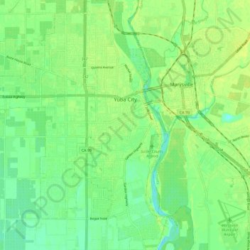
Name: Yuba City topographic map, elevation, terrain.

Location: Yuba City, Sutter County, California, United States (39.08718 -121.68887 39.17545 -121.59759)

Average elevation: 18 m

Minimum elevation: 9 m

Maximum elevation: 25 m

Gear up for your next adventure:

🥾Trail Running Boots - Durable shoes designed for trail running
🛶Canoe Life Vest - Safety vest for water sports
Lightweight Backpacking Tent - Compact tent for efficient hiking trips
💧Reusable Water Bottle - Durable water bottles for hydration on trails
🥾Waterproof Hiking Shoes - Durable shoes for wet and rugged trails

As an Amazon Associate, this site earns from qualifying purchases at no extra cost to you.