Geolocate

Arjunvas topographic map

Click on the map to display elevation.

About this map

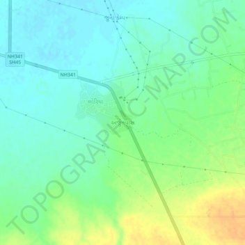
Name: Arjunvas topographic map, elevation, terrain.

Location: Arjunvas, Bhuj Taluka, Kachchh, Gujarat, 370001, India (23.40141 69.66167 23.44141 69.70167)

Average elevation: 18 m

Minimum elevation: 6 m

Maximum elevation: 37 m

Other topographic maps

Click on a map to view its topography, its elevation and its terrain.

Baladiya

India > Gujarat > Bhuj Taluka

Average elevation: 153 m

Luna crater

India > Gujarat > Bhuj Taluka

Average elevation: 4 m

Bhuj Taluka

India > Gujarat > Bhuj Taluka

Average elevation: 46 m

Gear up for your next adventure:

🥾Trekking Boots - Durable boots for long-distance trekking
Tent Footprint - Protect tent floor and increase durability
🏕️Camping Hammock - Integrated protection for sleeping between trees
🛶Waterproof Dry Bags - Keep electronics and clothes dry during river crossings
🛶Kayak Dry Bag - Waterproof storage for kayaking adventures

As an Amazon Associate, this site earns from qualifying purchases at no extra cost to you.