Geolocate

Deora topographic map

Click on the map to display elevation.

About this map

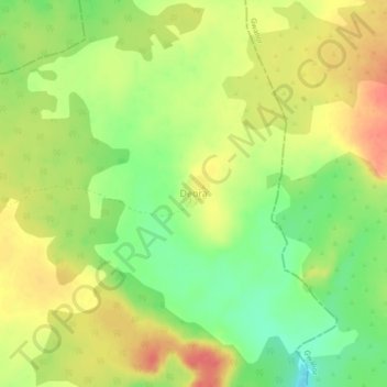
Name: Deora topographic map, elevation, terrain.

Location: Deora, Joura Tahsil, Morena, Madhya Pradesh, India (25.92576 77.64137 25.96576 77.68137)

Average elevation: 372 m

Minimum elevation: 339 m

Maximum elevation: 401 m

Other topographic maps

Click on a map to view its topography, its elevation and its terrain.

Mathurapur

India > Madhya Pradesh > Joura Tahsil

Average elevation: 173 m

Nimas

India > Madhya Pradesh > Joura Tahsil

Average elevation: 182 m

Jafrabad

India > Madhya Pradesh > Joura Tahsil

Average elevation: 180 m

Kemari

India > Madhya Pradesh > Joura Tahsil

Average elevation: 220 m

Gear up for your next adventure:

🧥Waterproof Jacket - Lightweight rain jackets for hiking and outdoor activities
🥾Hiking Boots - Sturdy boots providing ankle support and traction on rugged trails
🏃Hydration Running Vest - Carry water and maps close to your body for speed
🧼Travel Hand Sanitizer - Keep hands clean when water is scarce
🧥Ultralight Puffy Jacket - Maximum warmth that packs down to the size of an orange

As an Amazon Associate, this site earns from qualifying purchases at no extra cost to you.