Geolocate

Raipuriya topographic map

Click on the map to display elevation.

About this map

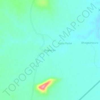
Name: Raipuriya topographic map, elevation, terrain.

Location: Raipuriya, Biaora Tahsil, Rajgarh, Madhya Pradesh, India (24.03165 77.12947 24.07165 77.16947)

Average elevation: 428 m

Minimum elevation: 408 m

Maximum elevation: 522 m

Other topographic maps

Click on a map to view its topography, its elevation and its terrain.

Agar

India > Madhya Pradesh > Biaora Tahsil

Average elevation: 471 m

Gear up for your next adventure:

🧴Sunscreen SPF - Broad-spectrum sunscreen for outdoor activities
🥾Hiking Gaiters - Protect legs and shoes from mud, snow, and debris
🐕Hiking Dog Pack - Let your canine companion carry their own water and food
🦶Anti-Blister Balm - Prevents friction and hotspots during long ascents
🎒Fully Waterproof Backpack - Total protection for photography gear and electronics

As an Amazon Associate, this site earns from qualifying purchases at no extra cost to you.