Geolocate

Shendra MIDC topographic map

Click on the map to display elevation.

About this map

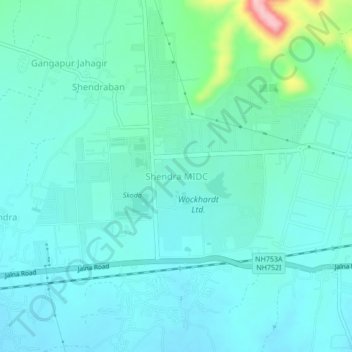
Name: Shendra MIDC topographic map, elevation, terrain.

Location: Shendra MIDC, Aurangabad, Maharashtra, 431201, India (19.85690 75.47279 19.89690 75.51279)

Average elevation: 595 m

Minimum elevation: 566 m

Maximum elevation: 736 m

Gear up for your next adventure:

🥾Waterproof Hiking Boots - Boots keeping your feet dry in wet conditions
🩹Compact First Aid Kit - Pre-packed essentials for common trail injuries
🕶️Polarized Sunglasses - Protect your eyes with durable polarized lenses
🛶Canoe Life Vest - Safety vest for water sports
🥾Hiking Boots - Sturdy boots providing ankle support and traction on rugged trails

As an Amazon Associate, this site earns from qualifying purchases at no extra cost to you.