Geolocate

Oldaniga topographic map

Click on the map to display elevation.

About this map

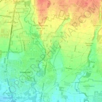
Name: Oldaniga topographic map, elevation, terrain.

Location: Oldaniga, Vimercate, Monza and Brianza, Lombardy, 20871, Italy (45.60230 9.36460 45.64230 9.40460)

Average elevation: 205 m

Minimum elevation: 181 m

Maximum elevation: 232 m

Gear up for your next adventure:

🛶Waterproof Dry Bags - Keep electronics and clothes dry during river crossings
💧Reusable Water Bottle - Durable water bottles for hydration on trails
🗺️Topographic Maps - Detailed maps to explore trails, mountains, and wilderness areas
🥾Trail Running Boots - Durable shoes designed for trail running
🥤Collapsible Travel Cup - Saves space and weight in your mess kit

As an Amazon Associate, this site earns from qualifying purchases at no extra cost to you.