
Gohlis topographic map
Interactive map
Click on the map to display elevation.
About this map
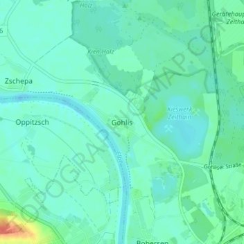
Name: Gohlis topographic map, elevation, terrain.
Location: Gohlis, Meißen, Sachsen, 01619, Deutschland (51.32407 13.27224 51.36407 13.31224)
Average elevation: 95 m
Minimum elevation: 87 m
Maximum elevation: 129 m