Geolocate

Alaska Range topographic map

Click on the map to display elevation.

About this map

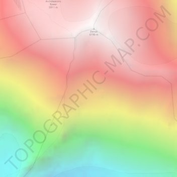
Name: Alaska Range topographic map, elevation, terrain.

Location: Alaska Range, Denali Borough, Alaska, United States (63.05995 -151.00805 63.06005 -151.00795)

Average elevation: 5,076 m

Minimum elevation: 3,471 m

Maximum elevation: 6,170 m

Other topographic maps

Click on a map to view its topography, its elevation and its terrain.

Anderson

United States > Alaska > Denali Borough

Average elevation: 171 m

Cantwell

United States > Alaska > Denali Borough

Average elevation: 1,104 m

Foraker Glacier

United States > Alaska > Denali Borough

Average elevation: 2,100 m

Denali Park

United States > Alaska > Denali Borough

Average elevation: 1,050 m

Anderson

United States > Alaska > Denali Borough

Average elevation: 171 m

Cantwell

United States > Alaska > Denali Borough

Average elevation: 1,104 m

Cantwell

United States > Alaska > Denali Borough

Average elevation: 1,104 m

Gear up for your next adventure:

🥾Hiking Shoes - Durable and comfortable shoes for trail hiking
🥾Mountain Hiking Boots - High-traction boots for rocky terrain
Bushcraft Tarp - Versatile emergency shelter or gear protection
🎒Fully Waterproof Backpack - Total protection for photography gear and electronics
🧢Beanie Hat - Keep your head warm in cold weather

As an Amazon Associate, this site earns from qualifying purchases at no extra cost to you.