
Thank you for supporting this site ❤️
Make a donation
Make a donation
Gear up for your next adventure:
As an Amazon Associate, this site earns from qualifying purchases at no extra cost to you.
Gurvansaikhan topographic map
Click on the map to display elevation.
Thank you for supporting this site ❤️
Make a donation
Make a donation
Gear up for your next adventure:
As an Amazon Associate, this site earns from qualifying purchases at no extra cost to you.
About this map
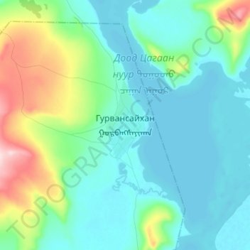
Name: Gurvansaikhan topographic map, elevation, terrain.
Location: Gurvansaikhan, Tsagaannuur, Hovsgel, Mongolia (51.31693 99.30777 51.39693 99.38777)
Average elevation: 1,594 m
Minimum elevation: 1,534 m
Maximum elevation: 1,818 m
Thank you for supporting this site ❤️
Make a donation
Make a donation
Gear up for your next adventure:
As an Amazon Associate, this site earns from qualifying purchases at no extra cost to you.