Geolocate

Wyllies Crossing topographic map

Click on the map to display elevation.

About this map

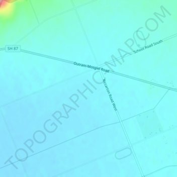
Name: Wyllies Crossing topographic map, elevation, terrain.

Location: Wyllies Crossing, Dunedin City, 9092, New Zealand (-45.86954 170.29985 -45.84954 170.31985)

Average elevation: 15 m

Minimum elevation: 4 m

Maximum elevation: 127 m

Other topographic maps

Click on a map to view its topography, its elevation and its terrain.

Cragieburn

New Zealand > Dunedin City > Dunedin

Average elevation: 203 m

Gear up for your next adventure:

🧤Insulated Winter Gloves - Heavy-duty protection for sub-zero Canadian adventures
🥾Waterproof Trail Shoes - Shoes designed to handle wet terrain
🧊Portable Cooler - Keep food and drinks cold during outdoor adventures
🧰Emergency Multi-Tool - Compact multi-tool for outdoor survival
🚲MTB Frame Bag - Carry tools and maps directly on your bicycle frame

As an Amazon Associate, this site earns from qualifying purchases at no extra cost to you.