Geolocate

Las Milpas topographic map

Click on the map to display elevation.

About this map
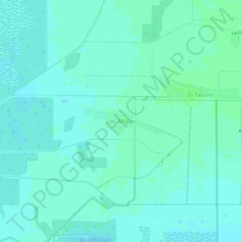
Name: Las Milpas topographic map, elevation, terrain.

Location: Las Milpas, Huatabampo, Sonora, Mexico (26.77670 -109.79093 26.81670 -109.75093)

Average elevation: 4 m

Minimum elevation: 1 m

Maximum elevation: 7 m

Gear up for your next adventure:

⛺Lightweight Camping Tent - Portable shelter optimized for Canadian backcountry camping
🧢Outdoor Visor - Breathable visor for sunny hikes
🧊Insulated Water Bottle - Keeps drinks cold in summer and prevents freezing in winter
🚲Handlebar Phone Mount - View topographic-map.com live while cycling
💧Filtered Water Bottle - Safe drinking water on the go

As an Amazon Associate, this site earns from qualifying purchases at no extra cost to you.